Fast flood modelling
Bluemapping deploys a ultra-fast model for run-off flooding on high-performance cloud servers. The solution enables to predict the risk of flooding and to design resilient infrastructures.


Preventing and anticipating flood events
Get quick results from flood simulations in real time in order to better anticipate risks, take preventive measures and minimise losses.

High-performance cloud solution
Bluemapping runs entirely on cloud servers from AWS. This enables unlimited data storage as well as elastic computing capacities.

Fast model
Delivering fast modelling results allows responsiveness in the management of crises as well as extensive parametric studies.
Context
Management of flood events
Flood event incur 115 bn€ of damages and 58 000 deaths every year. Climate change and land use change are generating heavier rain events and increase the risks related to floodings.
The public and private stakeholders engaged in the management of flood events have limited information, especially on small unmonitored river streams and of diffuse runoff, although they can have high and short-term impacts.
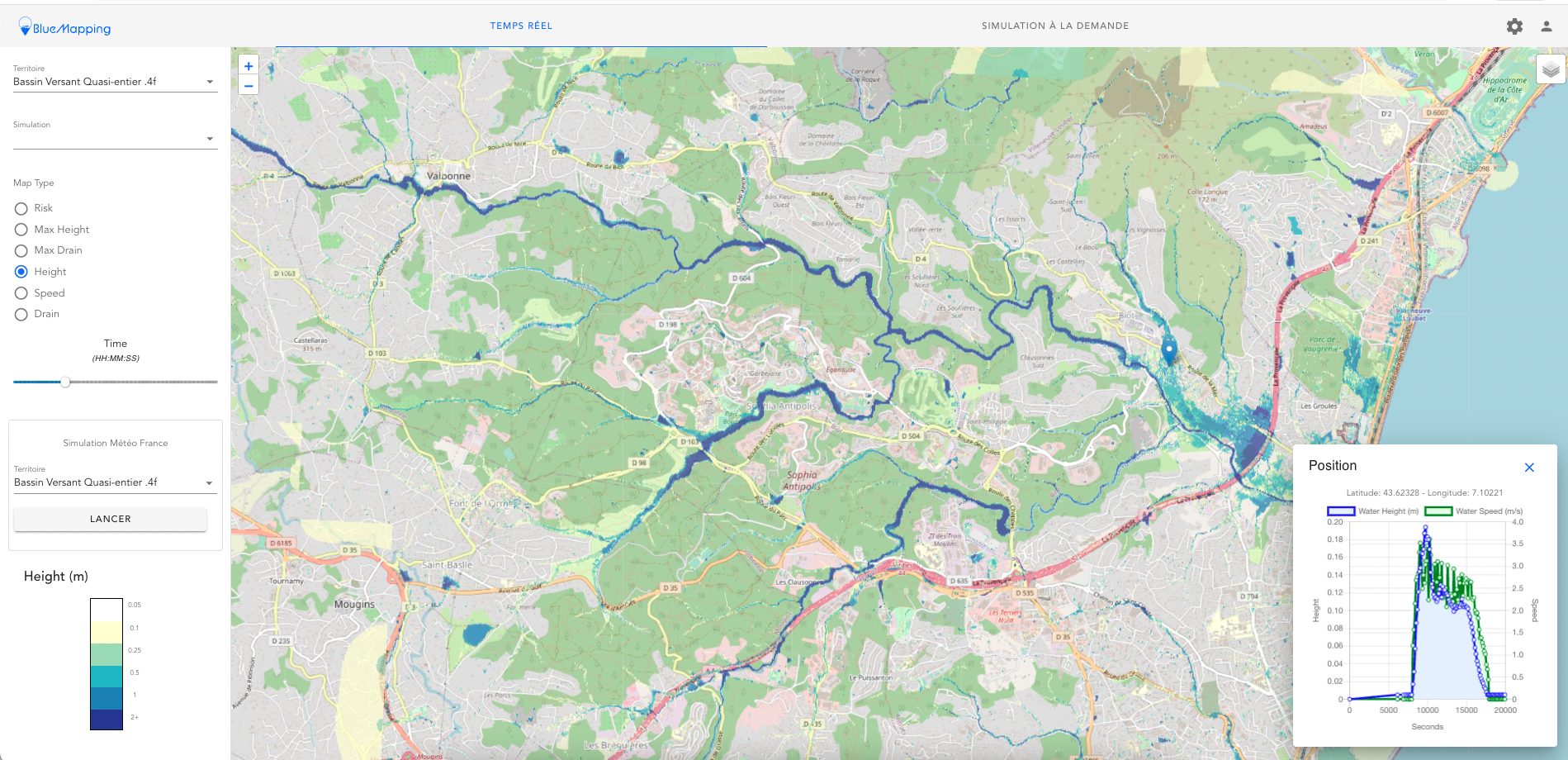
Our solution provides in a few minutes the dynamic behaviour of height and speed as well as risk on every point of the catchment taking the last rain forecasts or alternative on-demand scenarios. Bluemapping supports decision-making to prevent and manage flood risks.
Our solution
Our hydraulic flood model simulates flood scenarios on entire catchments in a few minutes on high-performance cloud servers .
Our cellular automata model allows high-performance parallel computing. It runs on high-performance servers on Amazon Web Services to deliver the best results in terms of speed and scalability. Our simulation results can be retrieved easily on line or via our API.

Bluemapping can be used in many ways, in particular as Early Warning System or On-demand / parametric studies

Early Warning System
Bluemapping simulates automatically, in real time, the risk of floodings based on the latest rain forecast. Thanks to our advanced model, we can estimate precisely the propagation of water on an entire catchment. Public authorities and private stakeholders can be warned early of a risk of flooding and take preventive measures to protect people and goods.

On-demand / Parametric studies
Users can use Bluemapping to launch on-demand simulations and parametric studies using alternative inputs. This allows to test quickly different scenarios (land use, soil conditions, infrastructures status, rain events…) and to model risk thoroughly. The solution is really easu to use and can be customised as needed.
Partners
They trust us !


Contact us!
2 route de la noue - 91190 - Gif-sur-Yvette, France
Get started!
Benefit from our fast, real-time flood modelling solution
